Use pull down menus above to navigate the site.
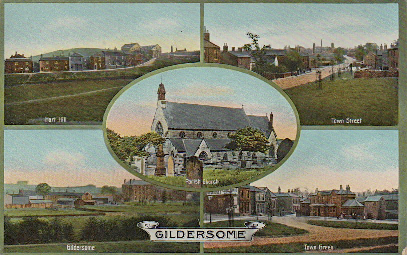
** NOTE** To see other areas of Gildersome, use the thumbnails below to open the pages.

Turton Hall and College Road.
Gildersome's New Hall, later called Turton Hall, was erected sometime between 1715 and 1739 by Bolton Hargrave (1695-1749). He was the son of John Hargrave of Giggleswick and Hannah Bolton of Gildersome. Hannah was the daughter of Farnley Wood Plot conspirator Jeremiah Bolton, also of Gildersome. The New Hall's likeness appears in a 1739 map of Gildersome, looking almost the same then as it does today (right). After Hargrave's death, his executors sold the New Hall (1750) to James Maude and he then sold it to John Turton (1779) from whence its present name derives. Officially, it was called New Hall or Gildersome Hall and didn't acquire its present name until the 1860s when it became known as Turton Hall Academy.
College Road gained its name from Turton Academy but in the past it was known as the New Lane or Old Coal Pit Lane.
College Road gained its name from Turton Academy but in the past it was known as the New Lane or Old Coal Pit Lane.

Turton Hall Academy:
|
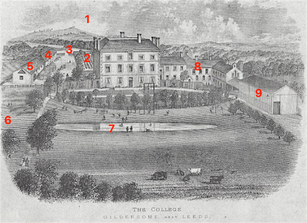
Turton Hall circa 1888 (taken from an advertising brochure). Missing from this bucolic scene are the mills and workshops which had overrun the town.
From about 1865, Turton Hall was known as Turton Hall Academy and attracted students from all over the country. Over the course of its existence the student population varied from 40 to 90 students. By 1910 the Academy was removed to Harrogate and Turton Hall, Hall Fold and its dormitories were converted to private residences. |
1. Harthill
2. Orchard 3. Intersection of Town St. and Town End. 4. Worker's Cottages 5. Carriage House & Stables 6. Cricket Field & approximate location of the old Quaker Meetinghouse and burial ground 7. Hall Pond 8. Classrooms & Dormitories 9. Storage and Workshops |
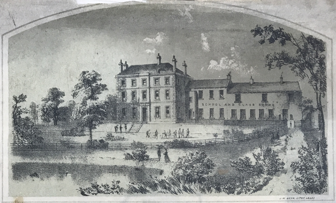
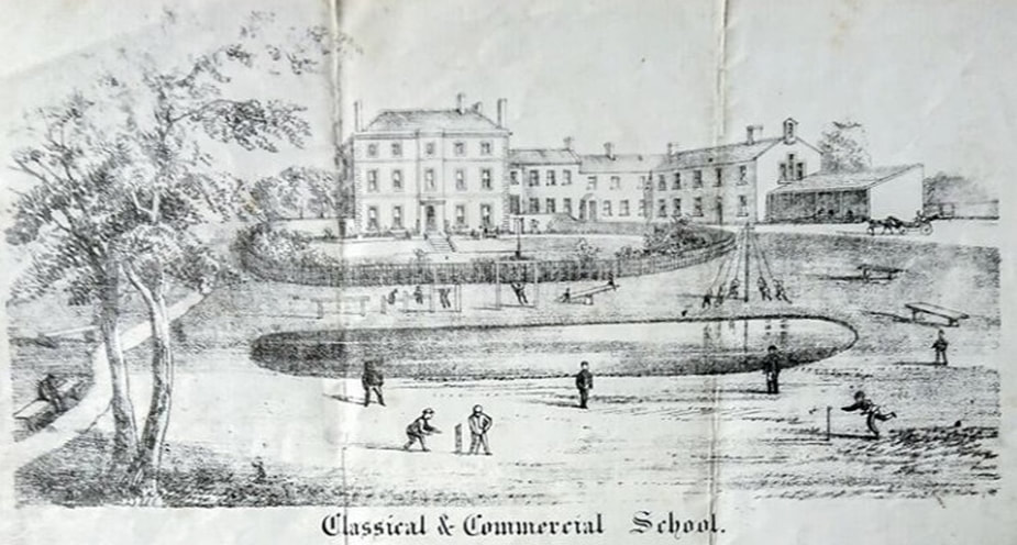
More Advertisment Views of The Academy:

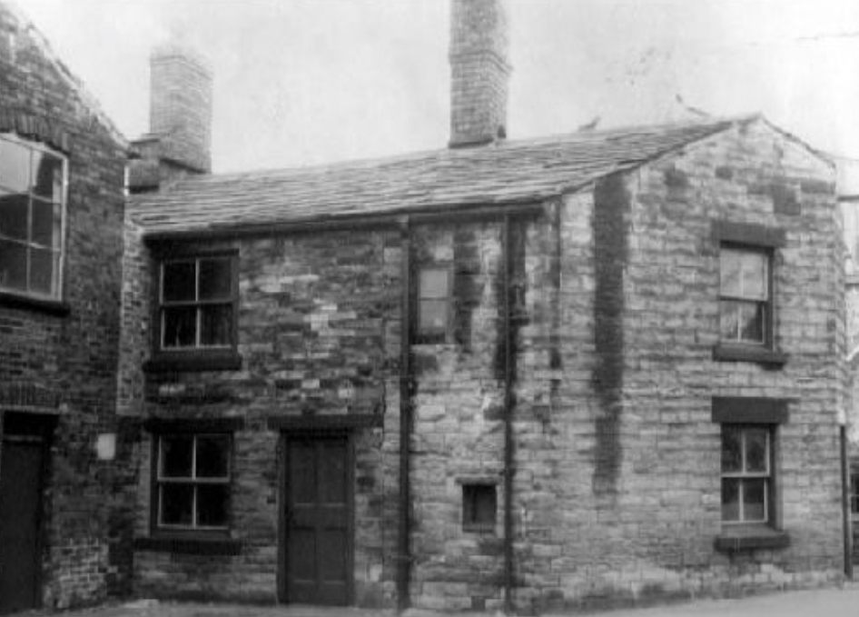
Hall Fold:
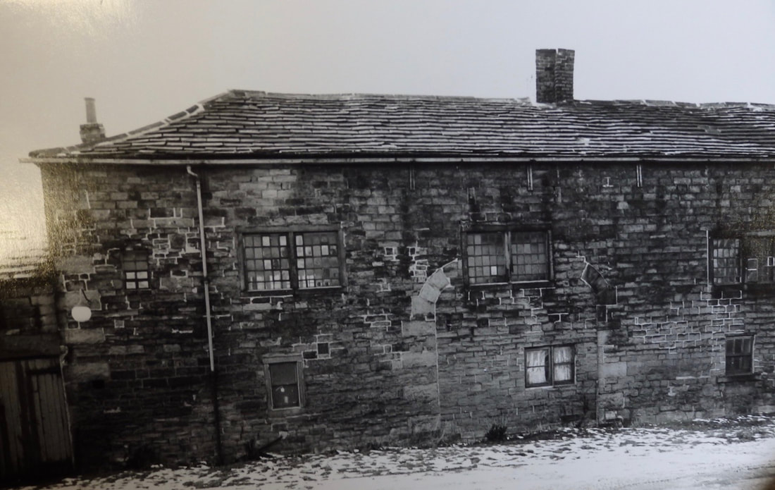
The area between Turton Hall and Hall Row, which included the cottages and carriage house (Nos. 4 & 5 above), was called Hall Fold, Both the grounds and Hall Row appeared in the 1800 Enclosure map of Gildersome. The original portion of Hall Row was built near Town St. around 1700 and was later added to over the years until it assumed the length shown in the drawing above. The photo (circa 1965, when it was scheduled for demolition) clearly shows the filled in entrance that was used when it was a carriage house. This row of buildings has had numerous uses over the years from worker's cottages, stables to cloth making. Winder's Beer was brewed there around the turn of the 20th century.

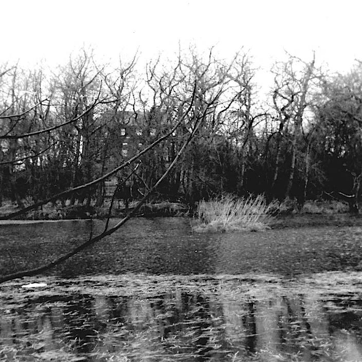
The Hall Pond (circa 1950s?):

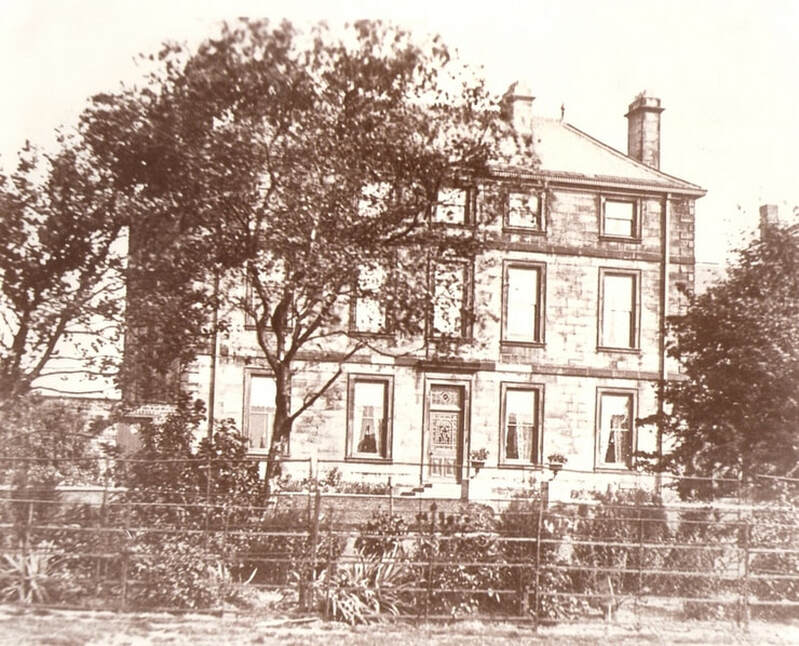
Turton Hall as seen from the Orchard (Town Street side):

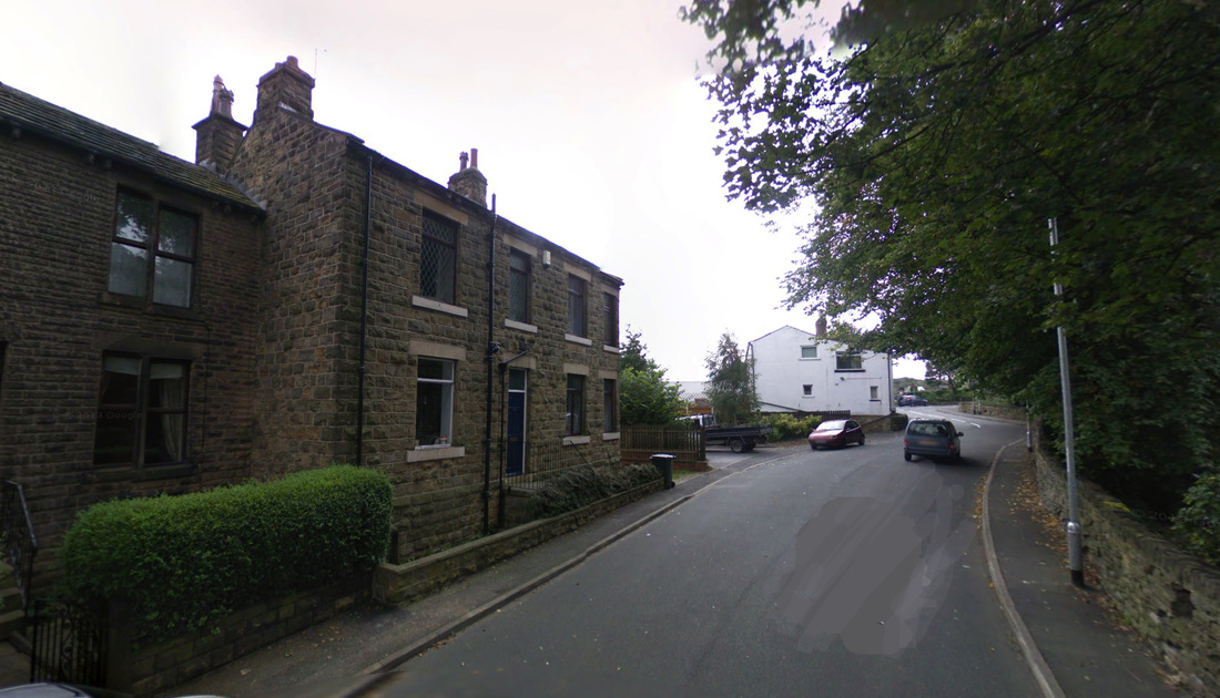
College Road at the former site of Allied Mills:
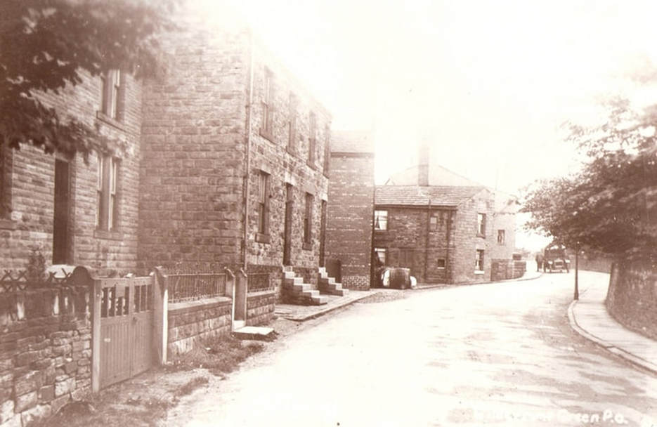
None of the buildings seen in these photos were here circa 1850. By 1857, Almond's Mill, the site of the tragic mill explosion in 1858, was erected in the area behind the cottages and along Gelderd Road. It's likely that most of the worker's cottages seen in the photo were built in the mid 1860s when Ellis' new mill (Allied Mill) was constructed. To the right, behind the wall, was the grounds of Turton Hall. In the contemporary photo, below right, some of Allied Mills' structures have been removed leaving the cottages behind Allied House visible.

End of College Road at Gelderd Road:
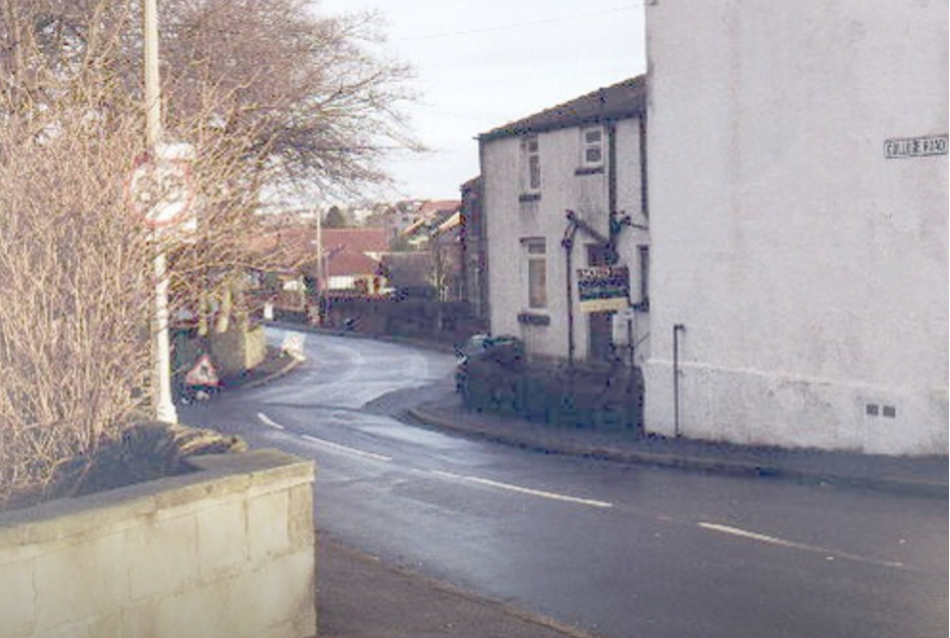
In this more recent shot, one is looking in the opposite direction from those in the three photos above. On the right is the gable end of Allied House.