Use pull down menus above to navigate the site.
** NOTE** To see other areas of Gildersome, use the thumbnails below to open the pages.
Street Lane and The Street Under Construction
It's not known how long Gildersome's portion of the Bradford to Wakefield Road has been called "The Street," It's one of several sections along its approximately 18 mile route to bear that name. Though it's widely accepted that the Anglo-Saxons used the Old English term "straet" to indicate a Roman road, leading many early historians to declare our own "Street" to be an example, recent studies have found no credible evidence to conclusively backup that claim. It appears that, with the passage of time, the "straet" or "street" name came to be connected with many roads of similar characteristics to a Roman road such as a straight stretch, a hardened surface or even just an old road that's well used. Roman road or not, "The Street" has probably been in existence since the Iron Age, if not before, and was certainly used by the Romans to exploit the area's iron ore resource.
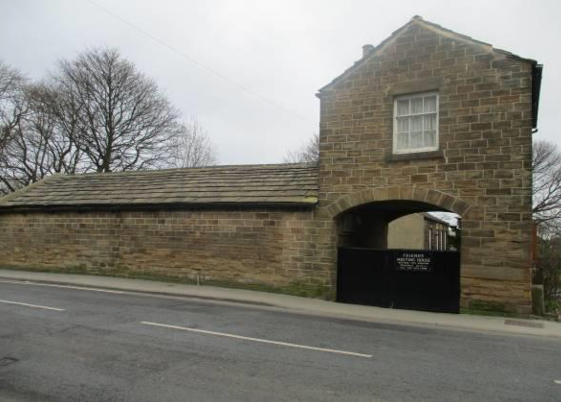
Around 1740, along the route through Gildersome between Bruntcliffe on "The Street" and the Farnley/Tong area, Street Lane was created to be a high road intended as a faster, more reliable alternative to "Old Stone Pits Road." Prior to that, the Street Lane vicinity was was called "The West Moors," and contained the occasional rutted farm roads, meadow land and pits of coal or iron workings. For almost one hundred years after its establishment, the only building to grace Street Lane's span was the Gildersome Quaker Meeting House, founded in 1756. In 1803, "The Nook," which had been a dead end or cul-de-sac off "The Green" was connected to Street Lane, this new road through "The Nook" became Finkle Lane. It was only after the 1850s and the rise of Gildersome's coal and woollen industries, that much of the terraced housing, some still found today, was built.
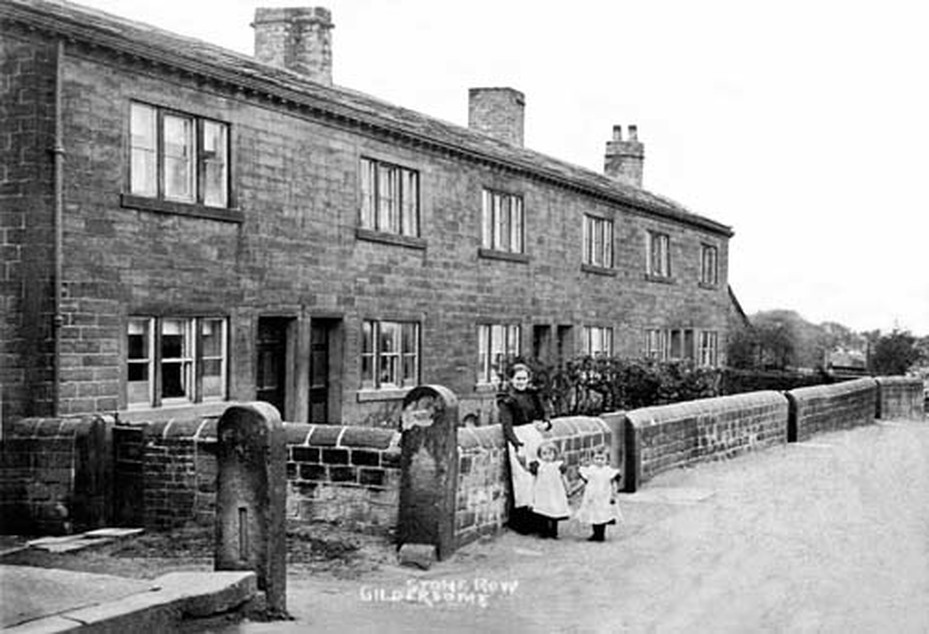
Stone Row, at the bottom of Street Lane, built for workers between 1820 and 1850.
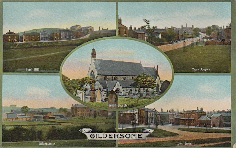
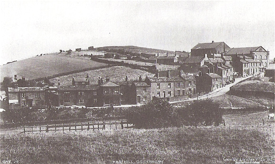
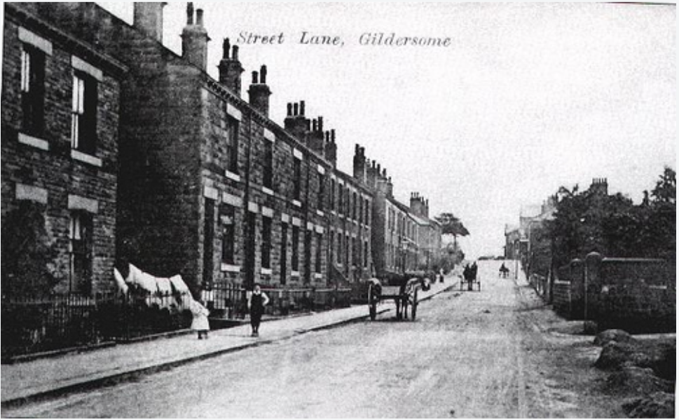
From an old Postcard of Gildersome
From an old Postcard of Gildersome
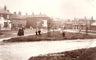
Stone Row looking south. The woman and children in the photo above are standing at the other end of the stone wall. (Courtesy of Margaret and Alan Kirk)
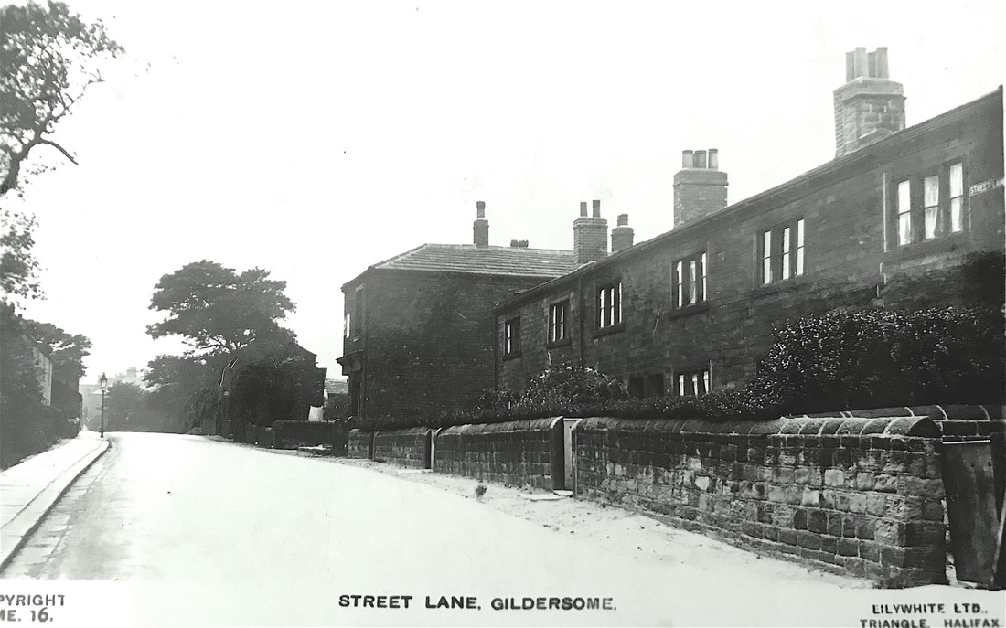
Perhaps a 1950s or 60s photo of Stone Row.
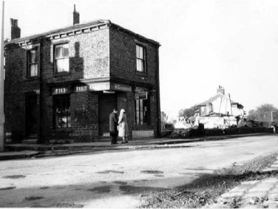
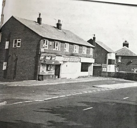
Demolition of Stone Row (on Right)
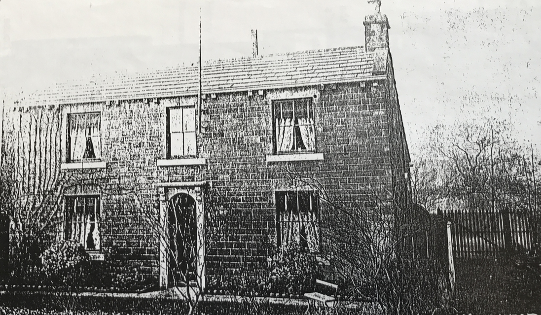
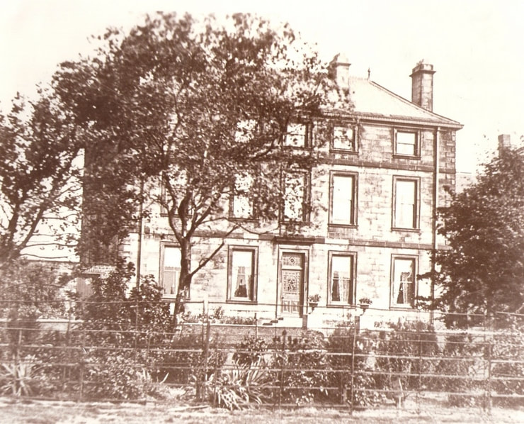
Woodhead House, built around the 1870s.
|
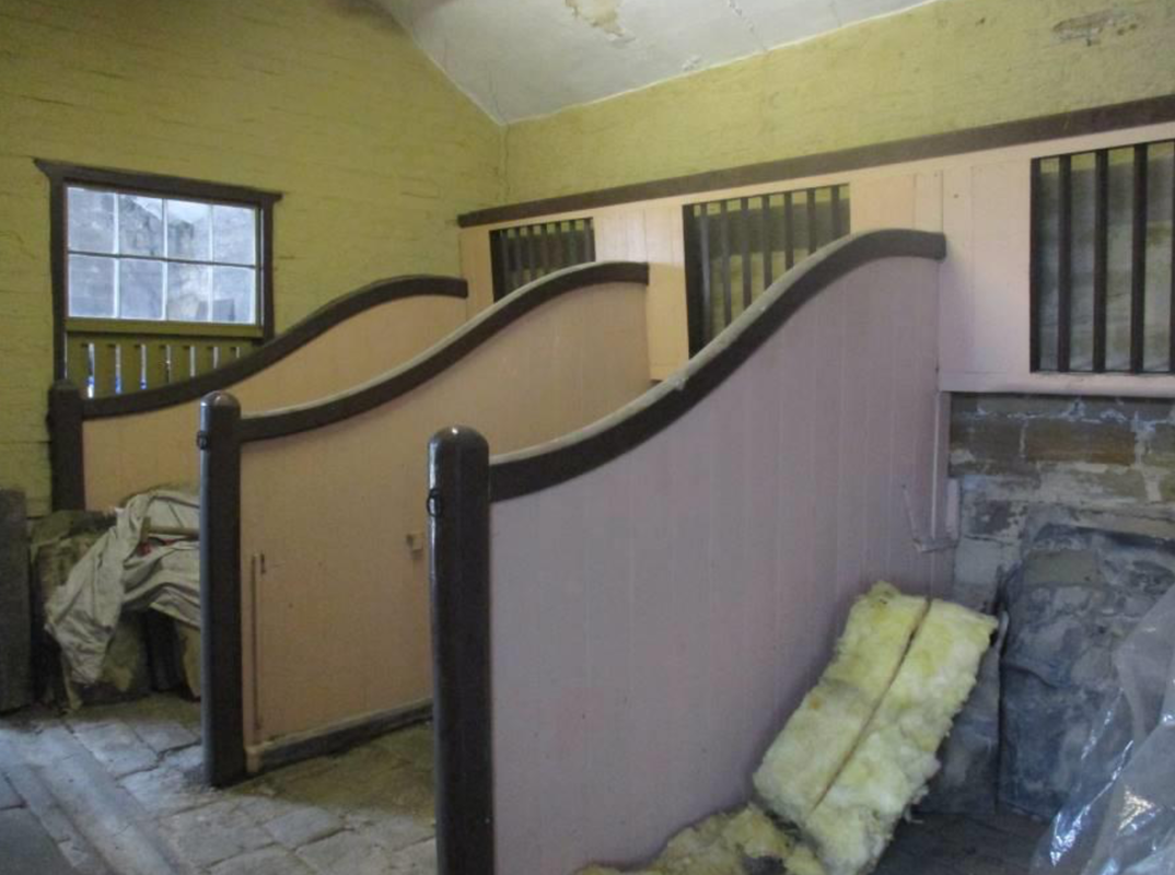
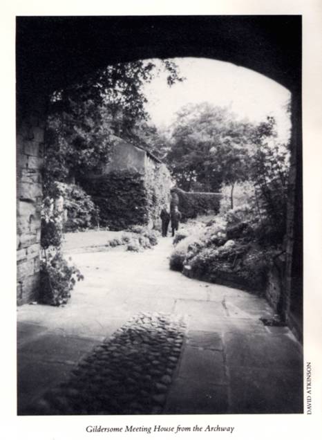
The Quaker Meeting House, stalls inside the stables and view through the arch.
|
|
|
Street Lane looking south. The rise of the road is where the photographer stood to shoot the next photo.
Click on the small photo, right, to see the same location today>> |

|
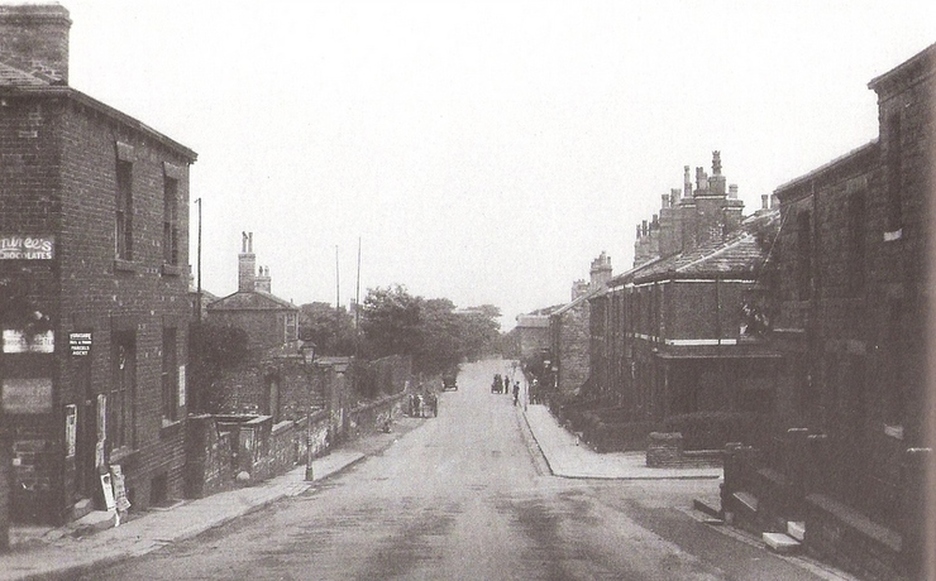
Looking north from the junction of Finkle Lane.
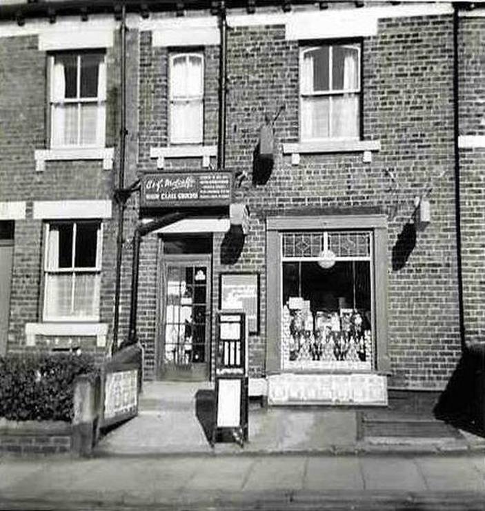
Today's No. 19 Street Lane
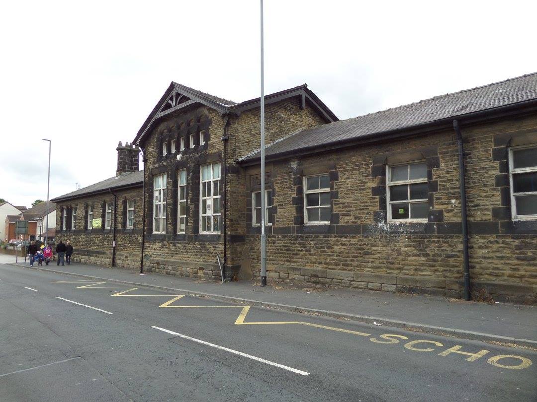
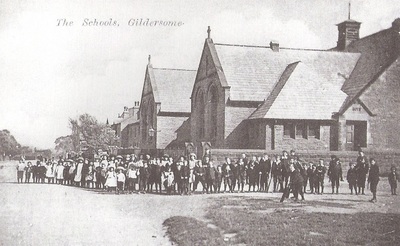
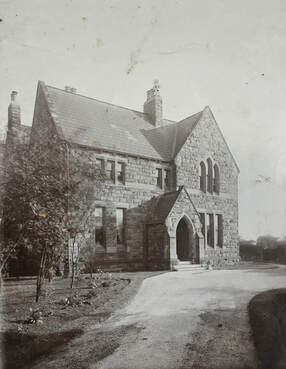
Street Lane School
|

|
Left, School cornerstone and debris pile after 2017 demolition.
|
|
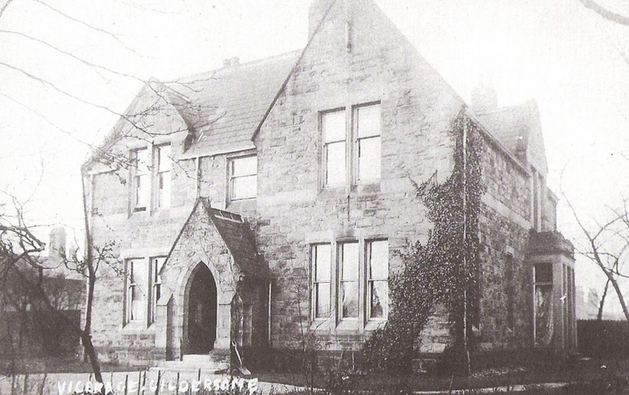
The Vicarage was built around 1870 and today is a home for the elderly.
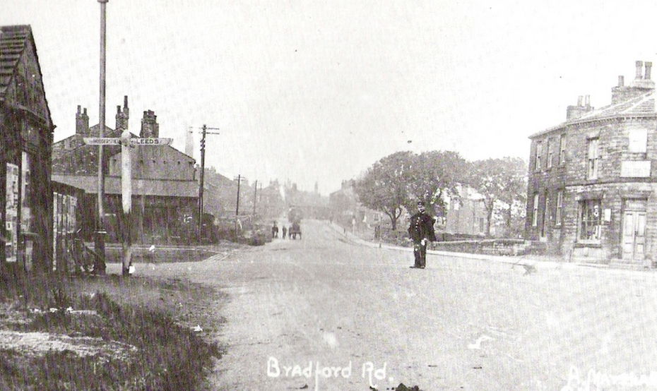
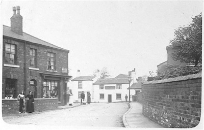
Bradford Road, Gelderd Road and Street Lane used to all came together where the constable is standing (The roundabout today). Looking in the direction of Bradford: the sign reads Huddersfield/Leeds which is Gelderd Rd. The rail line from Gildersome Station runs in a tunnel directly under the crossroads.
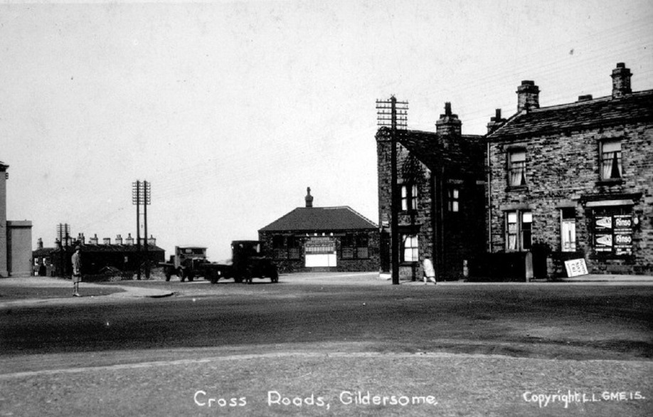
Directly behind the building in the centre is the Gildersome railway station, its tunnel runs underneath the crossroad.
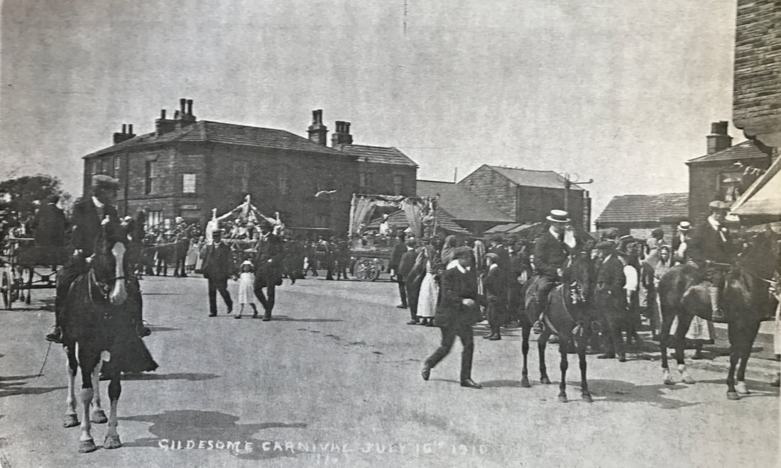
1910 parade and carnival near today's roundabout.
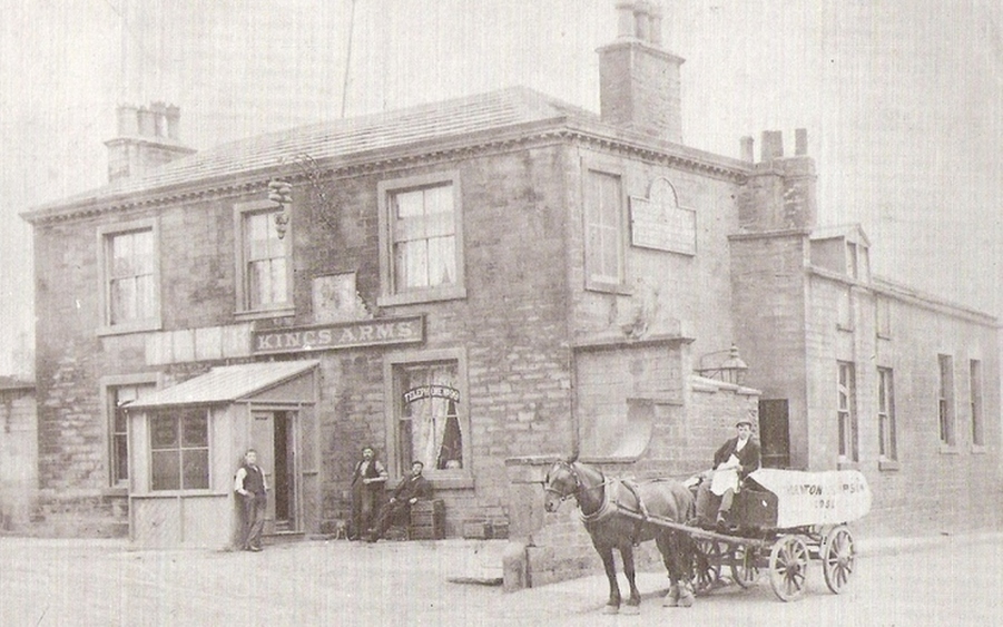
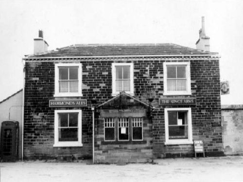
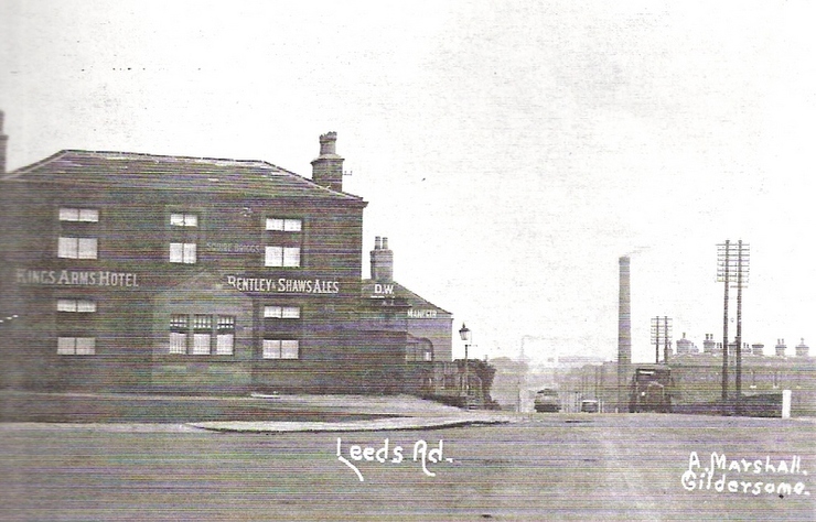
The Kings Arms at the top of Street Lane. All three photos above.
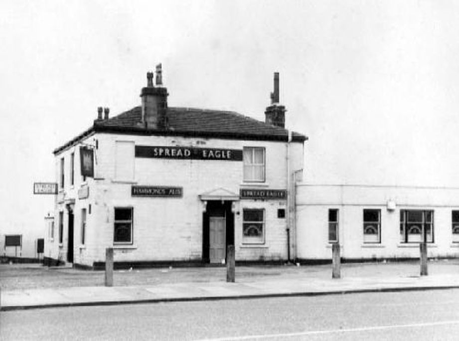
The Spread Eagle, across from the King's Arms.
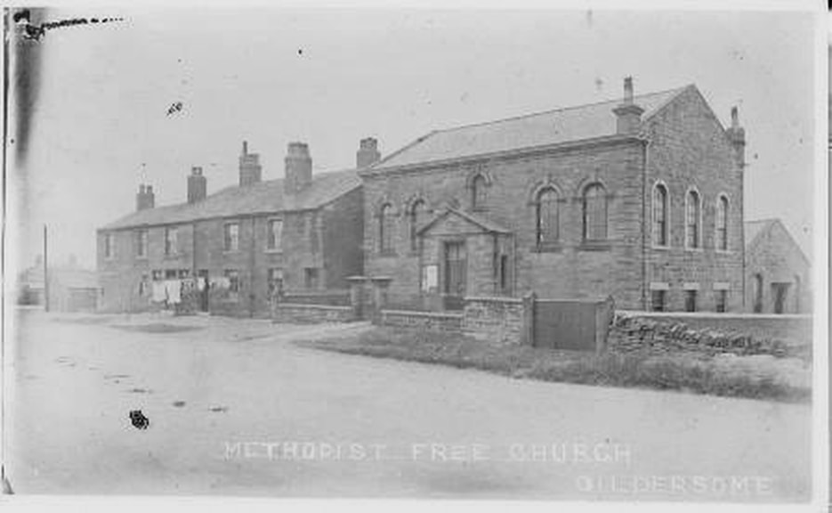
Methodist Free Church on Bradford Rd. on the Adwalton side of the Spread Eagle.
Formerly Verity's Joiner & Undertakers on Bradford Rd. (known as Croft House?)
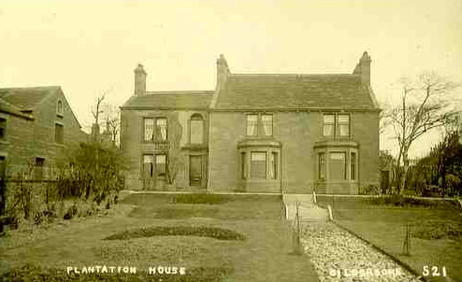
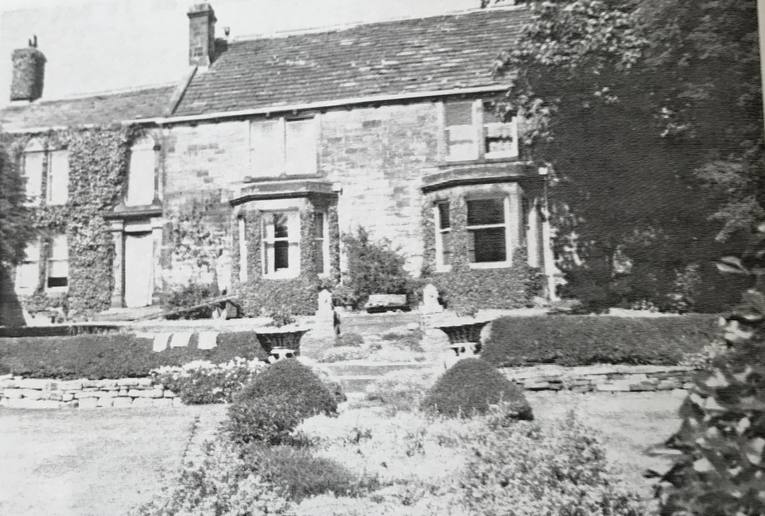
Plantation House on Bradford Rd.
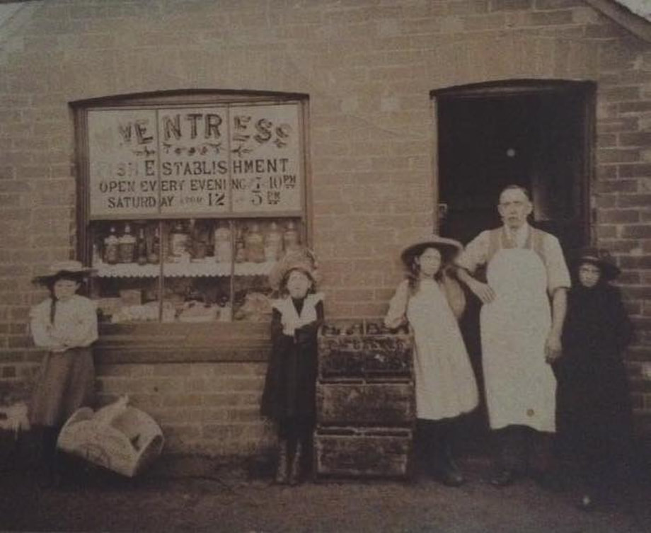
Ventress' Market on The Street.
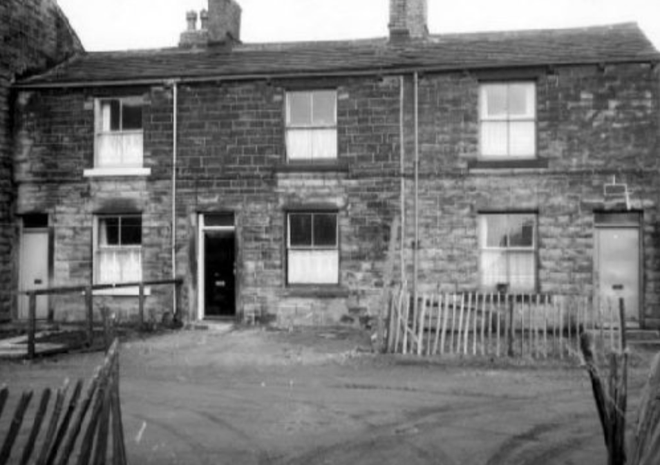
Bradford Road numbers 151 & 155
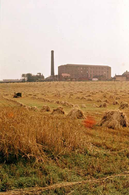
Bruntcliffe Mills
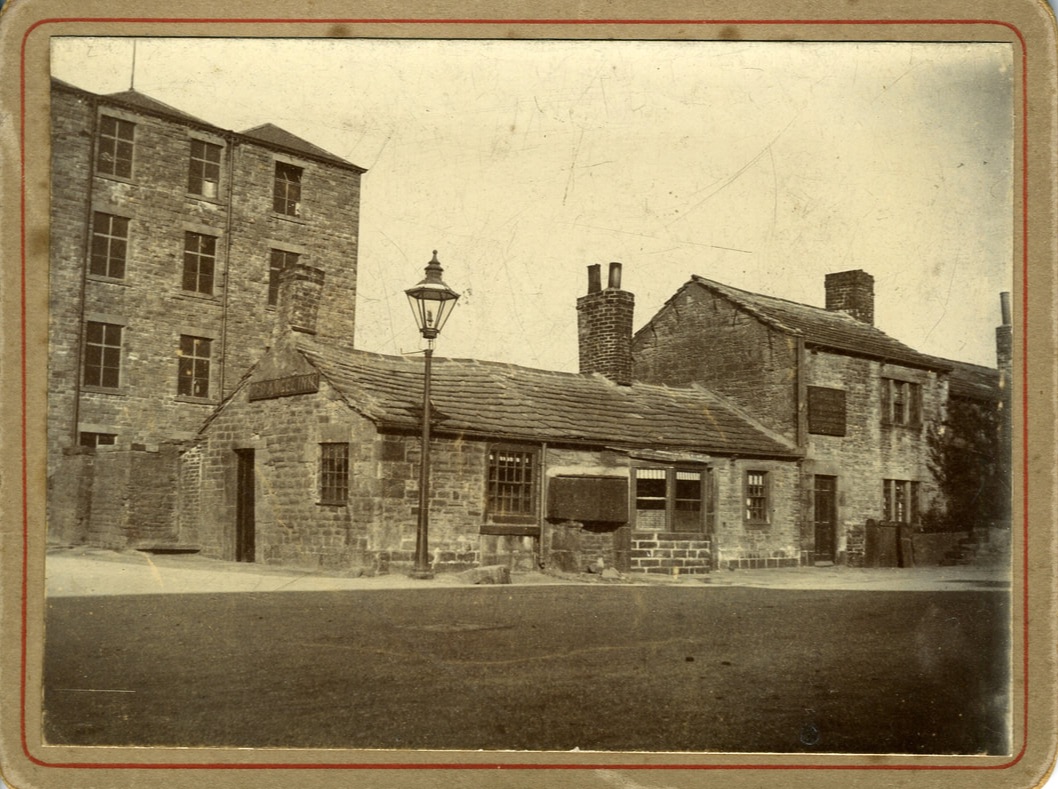
The Old Angel Inn, Bruntcliffe. It's claimed by the family that John Bilbrough (1745-1815) built the single story part circa 1780. About 1805 his daughter married Thomas Helliwell and the couple took over the Angel. They constructed the two storied bit attached to the east end. The Bilbrough family lived at this intersection for almost 200 years and occupied, at least, the 30 acres behind.
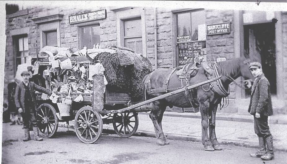
Bruntcliffe Post Office
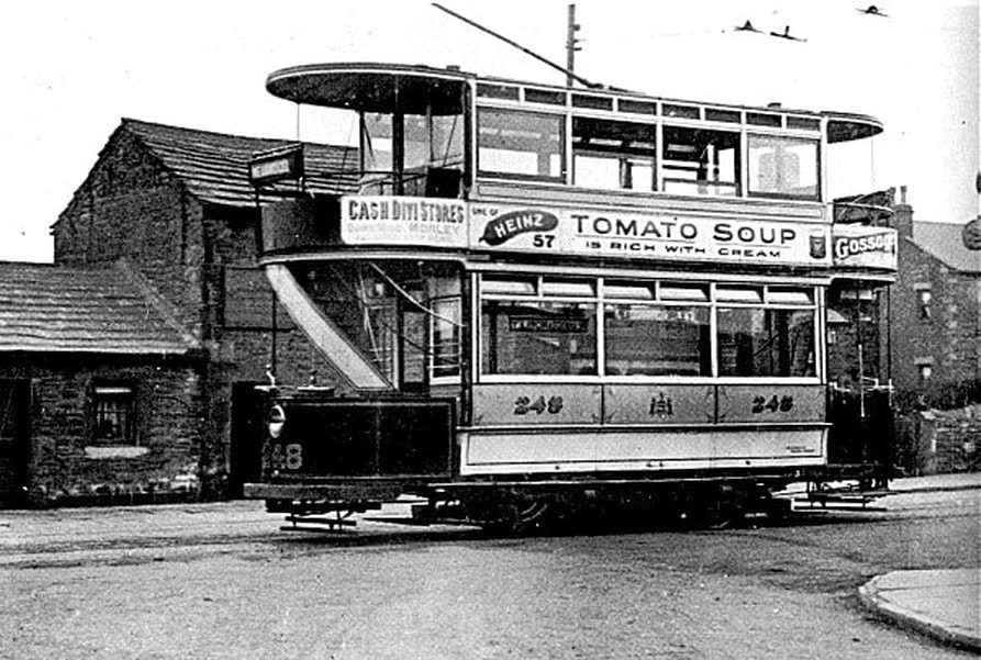
Tram from Morley at the terminus in Bruntcliffe. Behind the tram is the Old Angel Inn. Circa 1910.